Categories
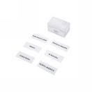
North America Labels
$3.34
In stock: 4 available
1
Product Details
Brand: Kid Advance
These labels provide the geographic place names needed to complete map work on the North America puzzle map and are designed for use in both early childhood and lower elementary environments. Printed to correspond with the continent's political geography, they allow students to move from land and water form recognition to naming and locating countries, capitals, and major landmarks. Teachers working across a two-cycle span will find these labels support a natural progression from basic puzzle assembly toward independent research and map labeling work.
North America Labels