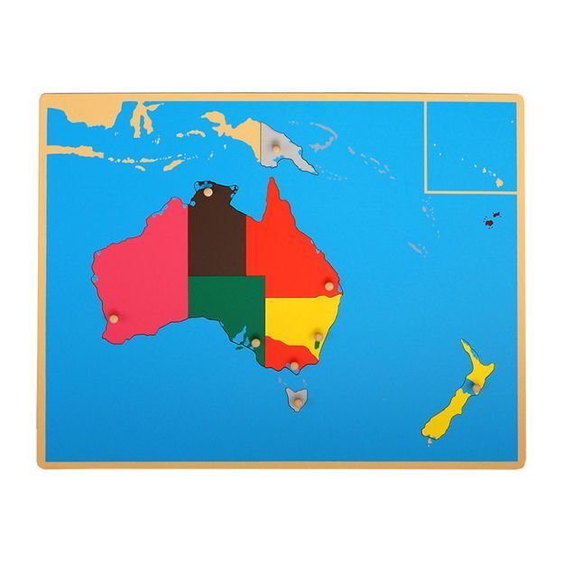
This wooden puzzle map of Australia and Oceania introduces children to both the continent and the surrounding island nations of the region, making it useful for geography lessons that address political boundaries as well as physical landmass. It fits seamlessly into the continent map sequence and supports the comparative geography conversations that emerge in Lower Elementary when children begin studying world regions more analytically. The isolated country pieces make it especially good for three-period lesson work with individual nation names.