Categories
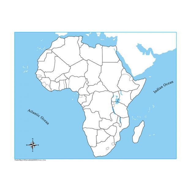
Unlabeled Africa Control Map
$2.00
In stock: 18 available
1
Product Details
This unlabeled control map of Africa gives children a clean reference point for self-correction during independent geography work, allowing them to check the placement and boundaries of countries without relying on a teacher. Designed for use alongside the labeled puzzle map and nomenclature cards, it supports the early childhood through lower elementary progression as children move toward independent mastery of the continent's political geography. The absence of labels makes it genuinely self-correcting rather than simply decorative, keeping the control function clear and purposeful.
Unlabeled Africa Control Map