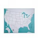
The unlabeled USA control map is the essential companion to the United States puzzle map, giving children a boundary-accurate reference for self-correcting state placement and label work. It serves both upper primary and lower elementary environments where children are working to internalize the geography of the fifty states. Its clean, label-free format keeps the focus on spatial recognition rather than reading, making it equally useful across a range of reading levels.